
Tauranga need not be merely the centre you pass through on the way to Mount Maunganui. Tatilmerkezi's Stork suggests a two-night city stay built around the southern end of The Strand, the Tunks Reserve connection back to Elizabeth Street, and a concrete waterfront meal. This is not a beach day or a tour of every corner of the Bay of Plenty. It serves a traveller who wants to walk the central streets, understand the city's relationship with the water and choose an actual dining address. The first day is for orientation, the second for the main walk and meal, and the third calendar day for departure. Two nights should not be represented as three full sightseeing days when arrival and departure take part of the available time.
Grey Street and the centre: a small arrival loop
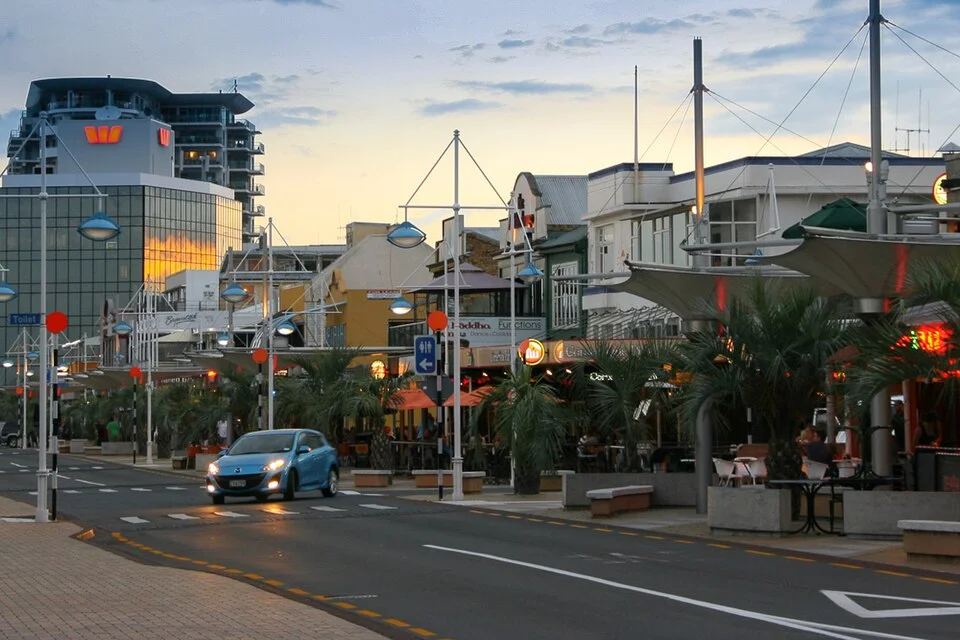
Leave your bags at your accommodation or a storage point before using Grey Street and the neighbouring blocks to learn the waterfront direction. That is enough to choose where you might return for breakfast and which street leads back to your room after dinner. If arrival is late, select a short walk and a nearby meal rather than attempting a full coastal circuit. The central street photograph records January 2010; its signs and shops are not used as a current business directory. The purpose of this section is orientation. Give shopping its own time on arrival day instead of repeatedly breaking the next day's waterfront walk to return to the same shops. In changing weather, a few central blocks can also be a more flexible outing than committing to a long exposed coastal route.

The southern Strand: the boardwalk and Tunks Reserve link
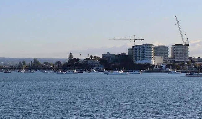
The council's opening announcement of 15 October 2024 describes a 170-metre boardwalk linking the southern end of The Strand with the railway underpass beside Harbourside. From there, the Tunks Reserve walkway connects towards Elizabeth Street. This helps form a central return loop. The quoted length belongs to that boardwalk section, not to the complete day's walking distance. On the second morning, follow the waterfront direction and use the connection as a return option when it is open. An opening announcement does not guarantee that every section is free of maintenance or restrictions on your 2026 travel day. Follow current signs and available passages. The October 2023 centre-and-harbour photograph predates the boardwalk opening. It illustrates the wider relationship between city and water, rather than pretending to document the new surface or present construction conditions.
Herries Park surroundings: a railway scene, not a timetable
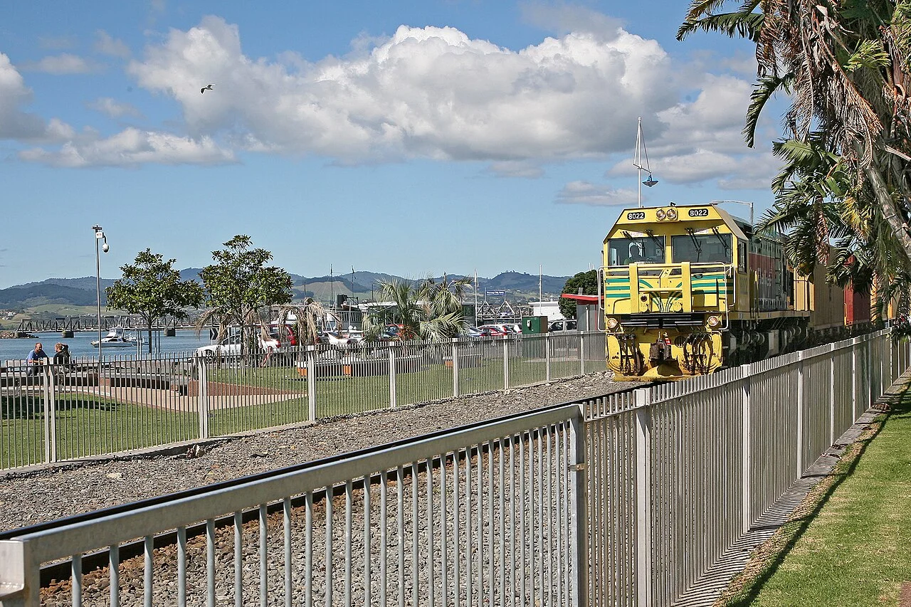
The proximity of waterfront and railway is useful for understanding Tauranga's urban layout. The Herries Park and station surroundings photograph shows a train in March 2009; the number 2023 in its filename is not the capture year. It does not advertise a tourist train, a present passenger station service or a departure timetable. Cross railway lines only at open marked crossings and do not approach the tracks to recreate a photographic angle. For a short city stay, this area can serve as orientation rather than another long route to complete. A coffee and simple sandwich before the main meal also give the walk a practical break. Leave time to return to your room afterwards. A waterfront dinner is more enjoyable when it does not follow an afternoon spent racing through every point visible in an old photograph.

A Harbourside meal: an actual menu at 150 The Strand
Harbourside's own menu page identifies the Old Yacht Club Building at 150 The Strand. Seafood choices include chowder, the market fish and fish and chips. Vegetable-led alternatives include kumara and black-bean croquettes and a pumpkin-and-chickpea Madras curry. Read the full dish description: the kumara and horopito pasta also lists pork and fennel sausage, while the steamed green-lipped mussels include pancetta. A vegetable or seafood name does not automatically make a dish meat-free. These examples were present on the operator's page at the check on 4 October 2026; prices are deliberately not fixed here. Two travellers might choose different main courses, or a lighter starter may suit the time between walking and dinner. A restaurant booking is a separate part of planning. Confirm service and table availability for the day rather than treating the meal as something automatically included in a public waterfront walk.
The Strand archive: distinguishing 1928 from today's street
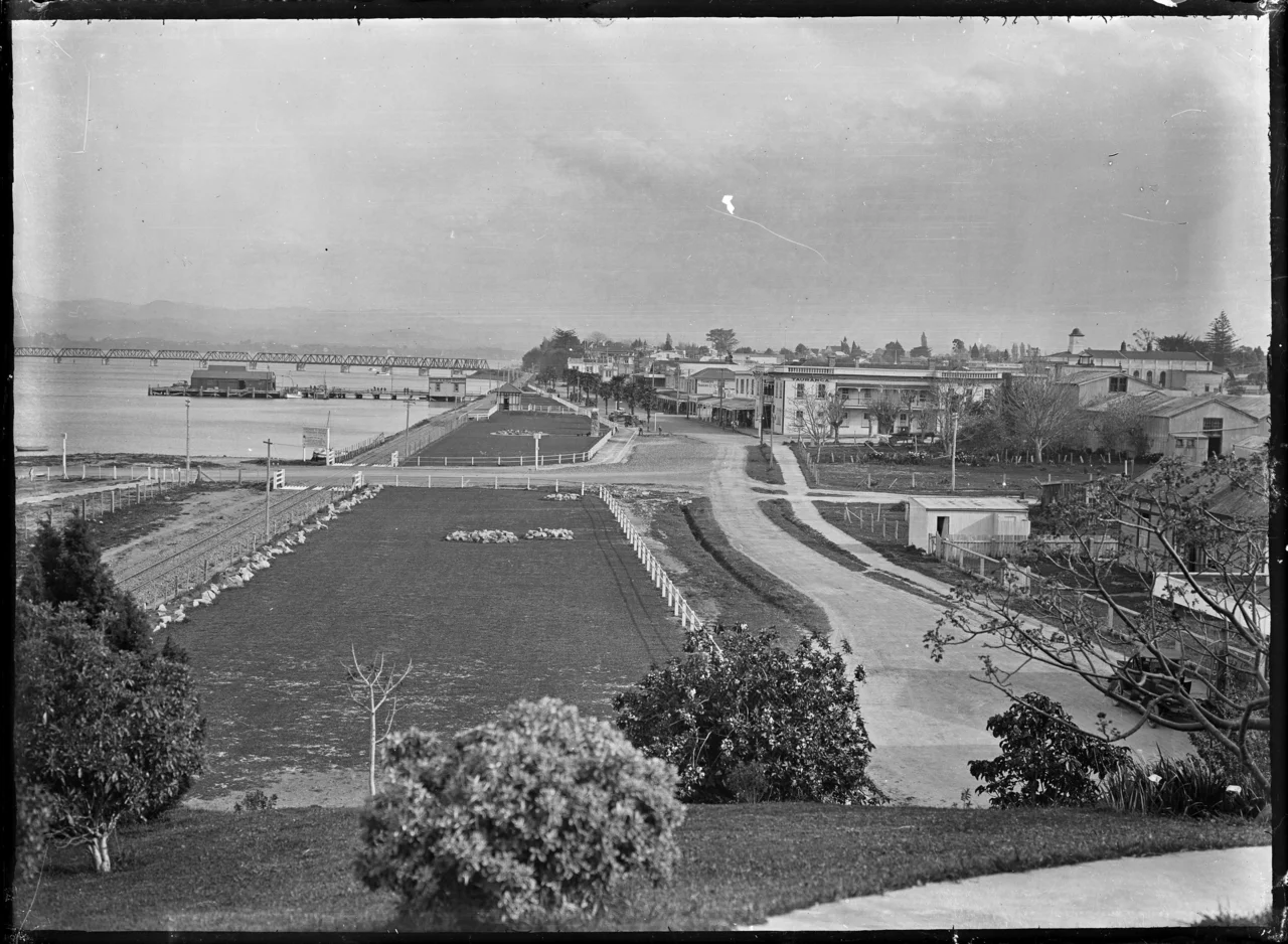
Albert Percy Godber's 1928 photograph of The Strand helps show the earlier relationship between harbour, railway and commercial streets. The required credit, Godber Collection, Alexander Turnbull Library, is retained with the image. Businesses visible in it are not present dining or shopping addresses. Rather than using an archive photograph as a map, make a short comparison of how the waterfront was arranged. Returning by the Elizabeth Street direction may make the difference between the earlier shoreline and the newer connection easier to understand. Do not assume that a railway or open space in the archive remains accessible in the same way. This adds a small historical perspective without inventing a museum visit or permissions to reproduce a collection. The current walking route and the actual meal still have their own sources and planning decisions.

The offshore view: not adding a distant trip to every city plan
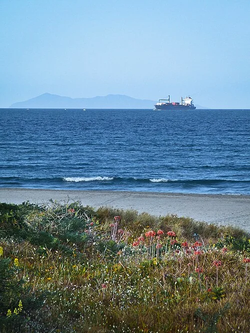
The December 2006 sea photograph records the Pacific offshore from Tauranga, with Mayor Island on the horizon. It is neither a view taken from the CBD boardwalk nor an advertisement for a boat excursion operating today. An image can help explain coastal geography without requiring an island visit in a two-night itinerary. If a marine activity is your priority, arrange its operator, weather decision and return connection as a separate outing. For this second city day, the central walk, a rest and one properly chosen meal are enough. A visitor with a flight on the third day should not make a distant coastal transfer compete with returning to the room and preparing luggage. The Stork's suggestion is to release yourself from the idea that every attractive picture creates another compulsory stop on the itinerary.

Choosing a base, a bus stop and the airport return
CBD accommodation supports the Strand, Grey Street and Elizabeth Street loop. A room on the Mount Maunganui side serves a different coastal priority and may require a separate central transfer. The airport's official address is 73 Jean Batten Drive, Mount Maunganui. Its location should not be mistaken for a continuation of the CBD walk. Tauranga Taxis' own service page describes airport transfers that can be booked in advance; match vehicle type and meeting arrangements to your trip. Council bus information and the central stop project have different publication histories. In particular, do not substitute the older Wharf Street description for the current stop plan. Open the operator's present Durham Street or Elizabeth Street stop information for the service you intend to use. On departure morning, align checkout, breakfast and vehicle pickup, rather than trying to complete another distant outing before leaving.