A short walking day in Oak Grove
Oak Grove, Oregon is an unincorporated community in Clackamas County. Build a modest visit around Stringfield Family Park, a selected section of the Trolley Trail and a real meal. Milwaukie in the hotel and restaurant postal addresses does not place those properties inside the park; transfers between stops require their own arrangements. All five gallery photographs are regional archives rather than local park images. They show Mount Hood, the Columbia River, Portland airport and the scenic-byway corridor. You do not need to connect the local walk to every distant scene. On a rainy day, a short outdoor stop, lunch and rest can form a complete programme. Decide how you will return before setting out rather than leaving the last connection to chance.
Begin at Stringfield Family Park
NCPRD lists Stringfield Family Park at 3614 SE Naef Road, Oak Grove. The operator gives opening half an hour before sunrise and closing half an hour after sunset. Its description includes an accessible walking loop, rest benches, a playground, restrooms, picnic facilities and natural areas. Two bridges overlooking a stream are among the identified features. Start with a short loop and choose a comfortable turnaround for your group. An accessible-path description does not guarantee identical conditions on every natural surface. Assess the ground and bridge approaches after rain. If a particular facility is essential, check that it is operating on the day. A general park page cannot prove the absence of daily maintenance or a temporary closure, so follow fresh instructions when you arrive.
Walk a selected Trolley Trail section
The park sits beside the multi-use Trolley Trail. NCPRD describes a mostly flat, six-mile walking and cycling corridor between Milwaukie and Gladstone. Six miles refers to the whole trail rather than the park loop or a compulsory out-and-back target. For a short visit, identify your entrance on the operator’s map and consider returning to the same point. Its etiquette guidance asks visitors to leash dogs, have cyclists yield to pedestrians and step off the route when stopped. Observe signs at road crossings instead of assuming drivers have seen you. Allow time for interpretation if the historic corridor interests you. A walk on a former railway alignment, however, does not establish that a passenger streetcar operates there today. Plan the route as a pedestrian or cycle journey with your own return arrangements.

Use current transport routes
TriMet’s August 2026 service-change information documents changes to names and alignments in the surrounding area. Do not carry a number or frequency from an old map into today’s itinerary without checking it. The current description says 33 McLoughlin/King Road serves McLoughlin Boulevard and describes a weekday programme for 34 Oatfield/River Road. Use the operator’s journey planner for your actual stop, transfer and return on the chosen date. A bus along the main corridor does not prove a stop at the park gate. Account separately for the last walk, road crossings and luggage. Cyclists should allow for occupied bicycle spaces on a vehicle. Drivers also need to check parking rather than relying on a promised space or an unverified fixed journey duration. Keep enough flexibility to shorten the walk if a connection changes.
A named main course at The Grove
The Grove Bar & Grill’s current menu describes The Grove Pizza with tomato sauce, mozzarella, pepperoni, andouille sausage, Canadian bacon, Italian sausage and fresh basil. The restaurant publishes the postal address 15300 SE McLoughlin Boulevard, Milwaukie. Keep that location separate from the Oak Grove park instead of presenting it as an on-site café. Ask about current availability, portion and price before ordering, and do not combine figures from an old PDF with a newer menu. The current homepage lists Monday-to-Thursday and Sunday hours of 8 am to 9 pm, with Friday and Saturday hours of 8 am to 11 pm. Other older operator pages can differ, so confirm directly before departure. Business hours do not establish the kitchen’s last order. Explain an allergy or preparation request clearly to staff.
Stay at Milwaukie Inn
Milwaukie Inn Portland South is a real overnight option at 14015 SE McLoughlin Boulevard. Its own site gives check-in at 3 pm and check-out at 11 am. Arrange a park or meal stop rather than assuming a room will be available on a morning arrival. The hotel lists a mini-fridge, microwave, Wi-Fi and free parking. Read the room and rate conditions for your own dates. Travelling with a pet requires a direct check of suitable rooms and applicable conditions; a promotional sentence is not an unlimited acceptance promise for every booking. No unverified breakfast or shuttle service is added here. Plan the transfer from the park separately and do not infer an easy walk between all stops. Photographs of the property’s garden courtyard are not included in the gallery.
Regional photographs are not route maps
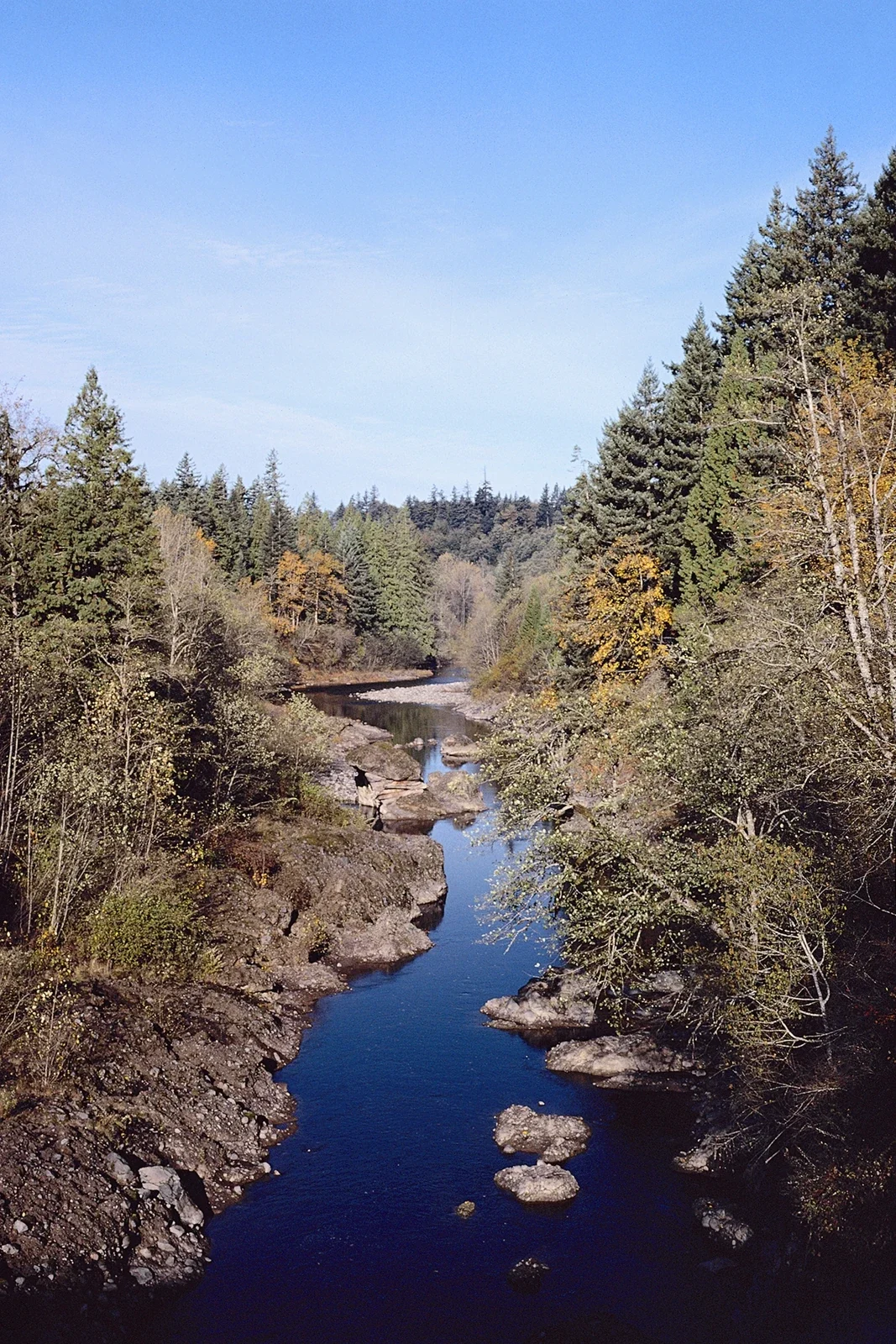
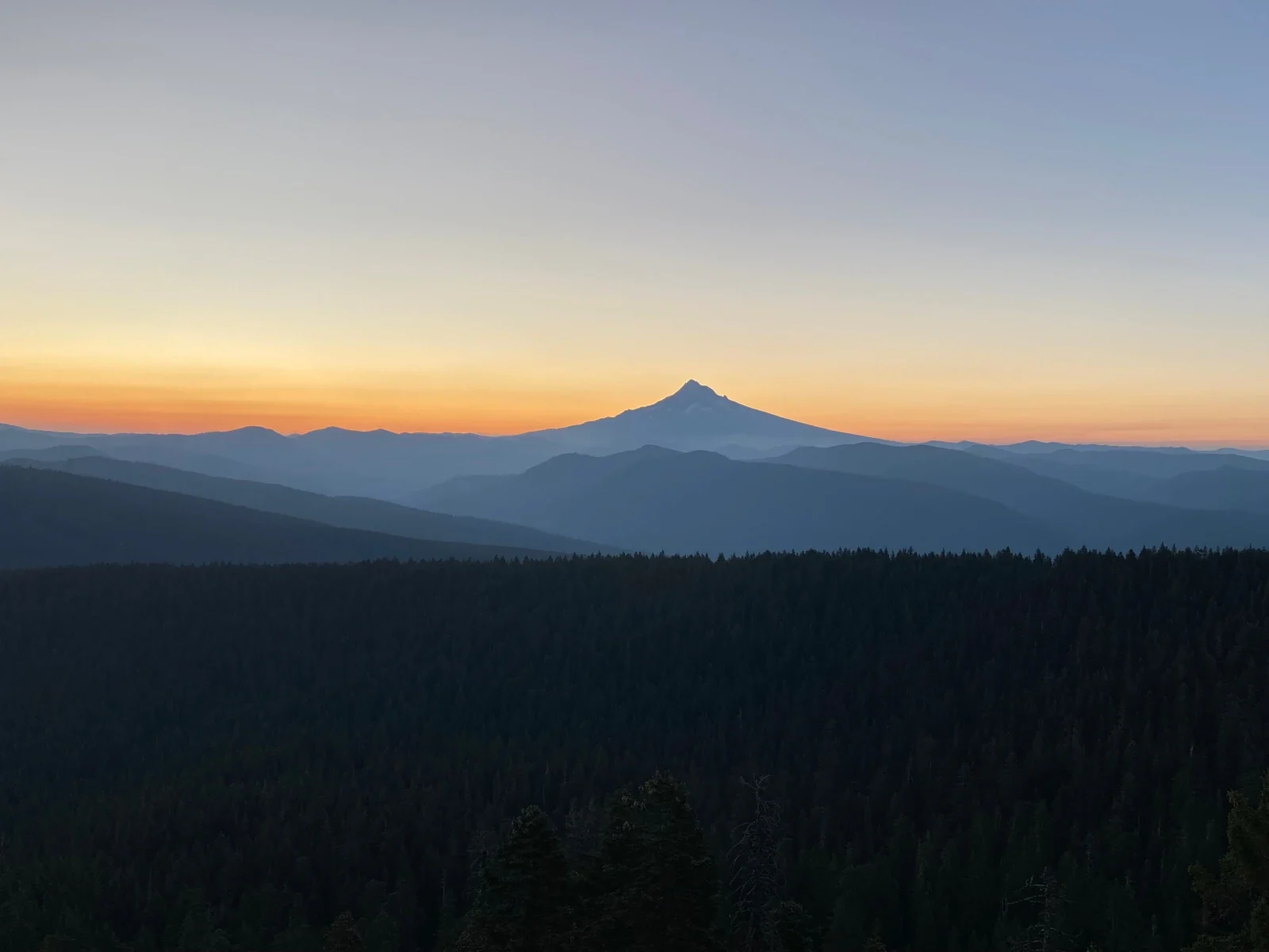
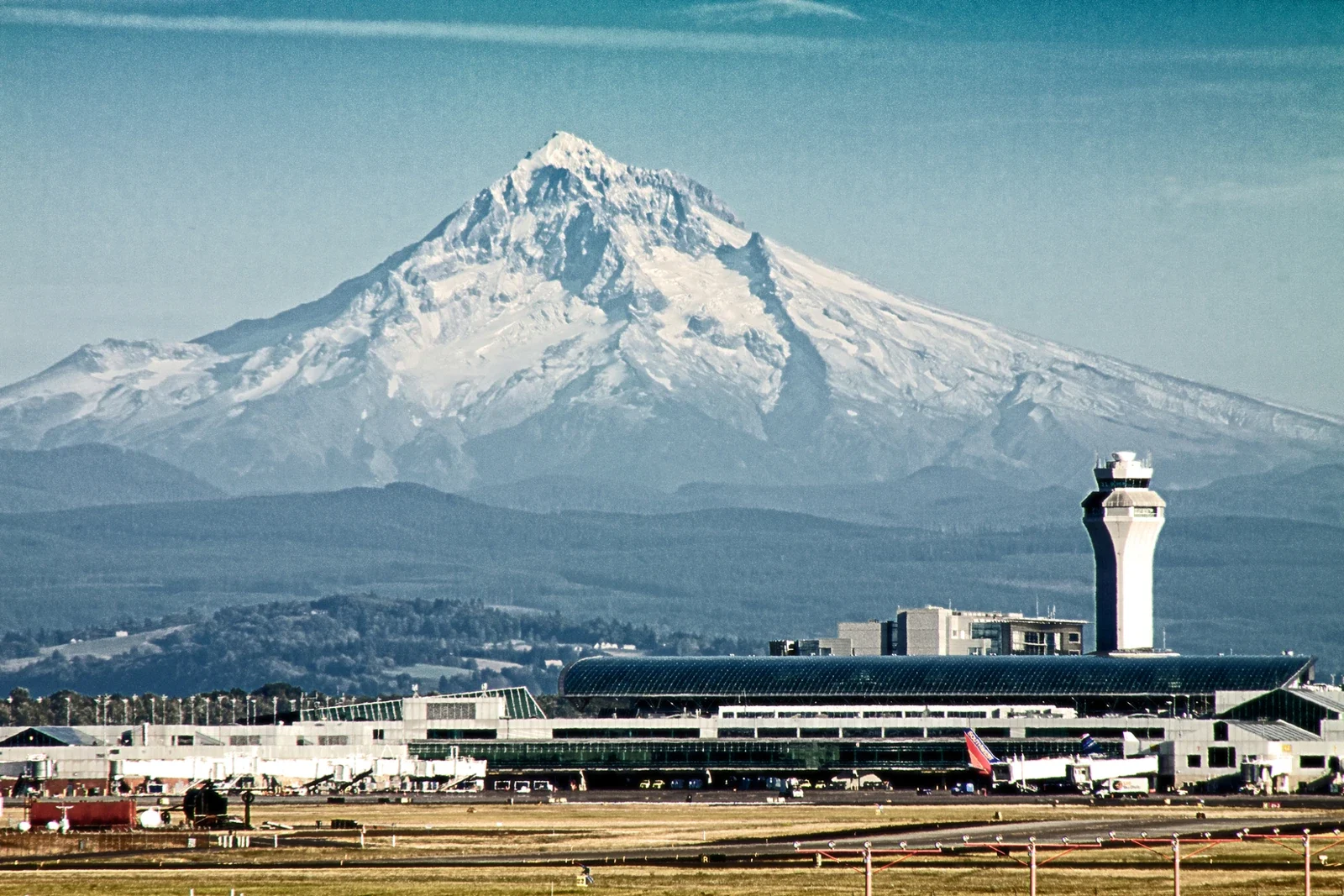
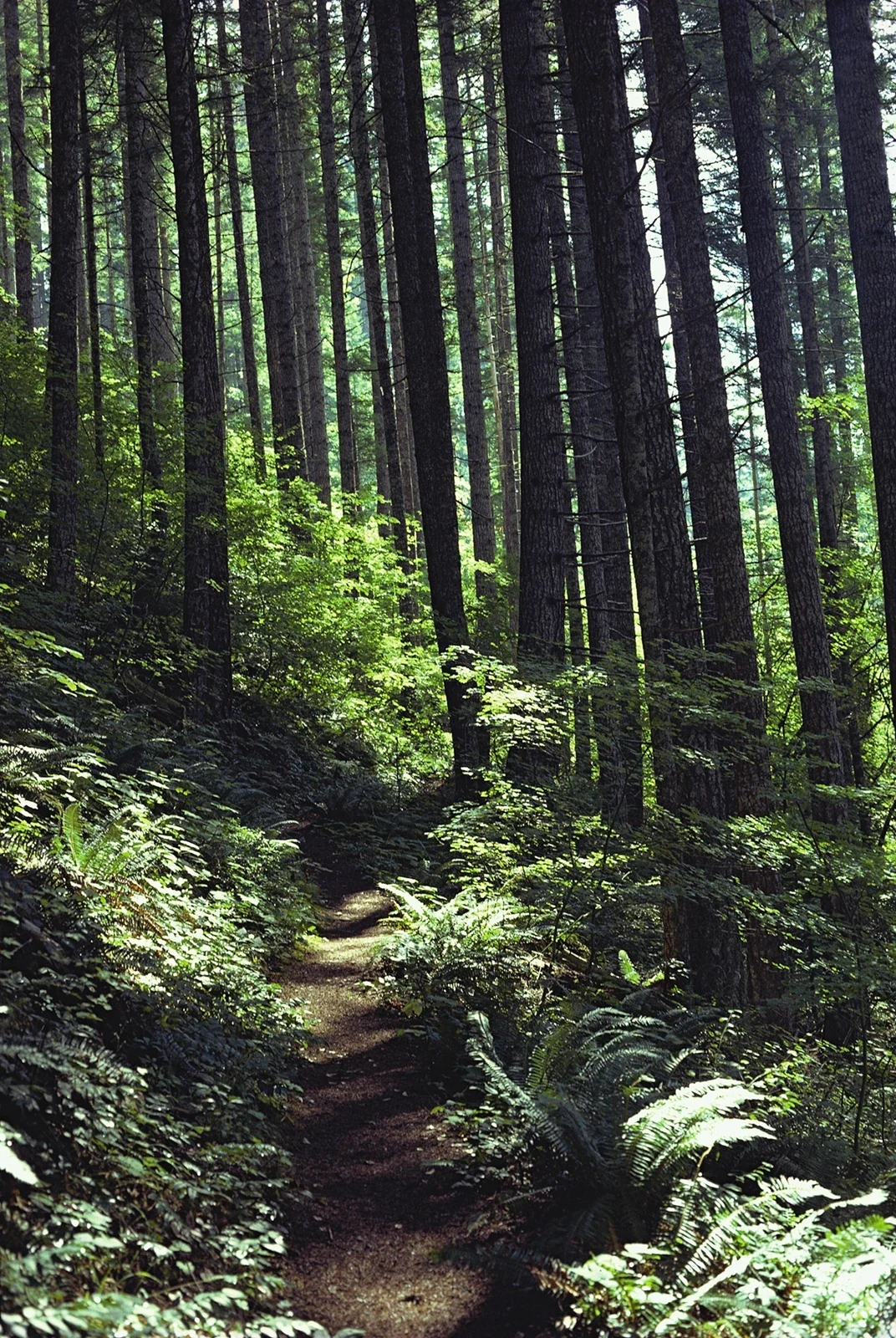
Sunrise over Mount Hood from Sherrard Point does not promise the same mountain angle at Stringfield Park. The Columbia River with Glenn Jackson Bridge and the Portland airport scene likewise should not be read as Oak Grove stops. An airport photograph cannot establish a hotel shuttle. The forest path and Sandy River photographs are archives from the scenic-byway collection. Their source descriptions do not verify a specific current visitor entrance, so these images are not independent walking directions. Dry rocks or low water in an archive cannot prove safe bank access today. For a separate regional outing, check the responsible operator’s current road, weather and access notices. There is no requirement to turn a short community walk into a mountain journey; keeping the day smaller can be a deliberate and useful decision.
Make the final checks
Water, rain protection and footwear with suitable grip are useful even on a brief park visit. Consider daylight, the group’s walking comfort, the meal and the return connection together. Do not block other visitors on a bridge or wetland edge while taking photographs. Avoid feeding wildlife or entering vegetation. Families and travellers using mobility aids should ask about the particular surfaces and facilities they need. Current park signs take precedence over an online archive. Recheck the menu and closing arrangements, selected room conditions and bus return before leaving. If a stop takes longer than expected, save the distant view for another day. The park, a chosen Trolley Trail section, a specific meal and rest already provide a balanced Oak Grove visit without a long list of faraway attractions.